
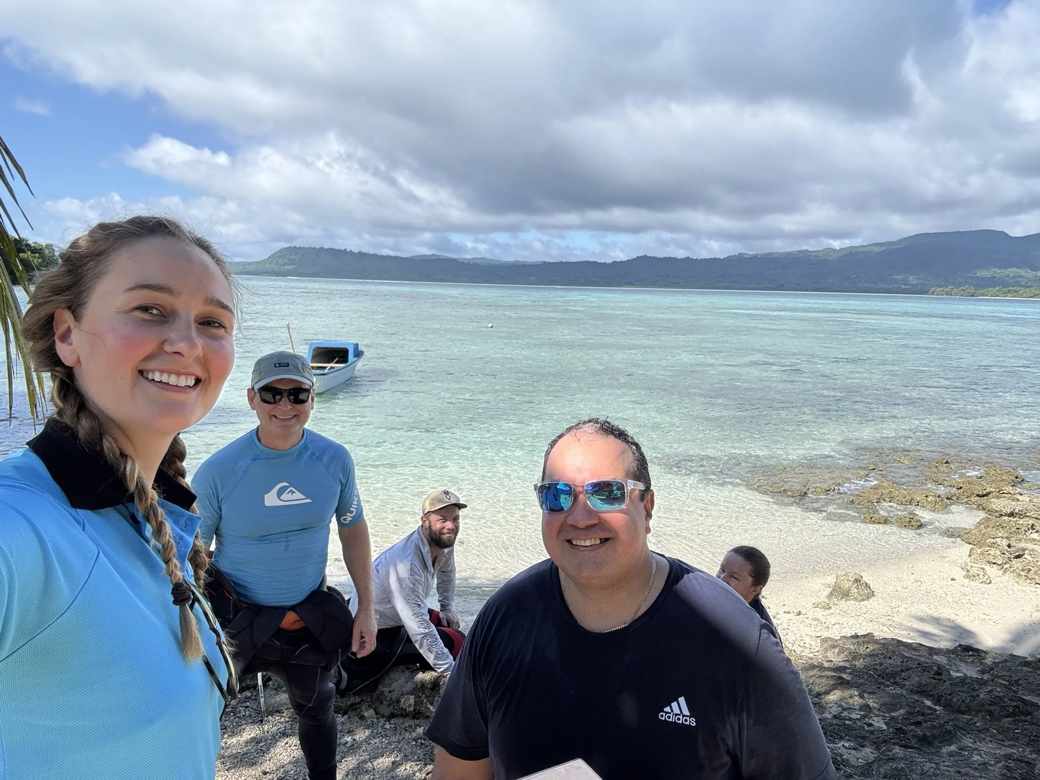
Pele Island climate resilience project
Empowering a Pacific Island community through science and traditional knowledge
A partnership between the Pele Island community and the University of Queensland and the University of New South Wales to use Earth Observation and AI/ML technologies to support climate change adaptation for sustainable coral reef management and shoreline defence.

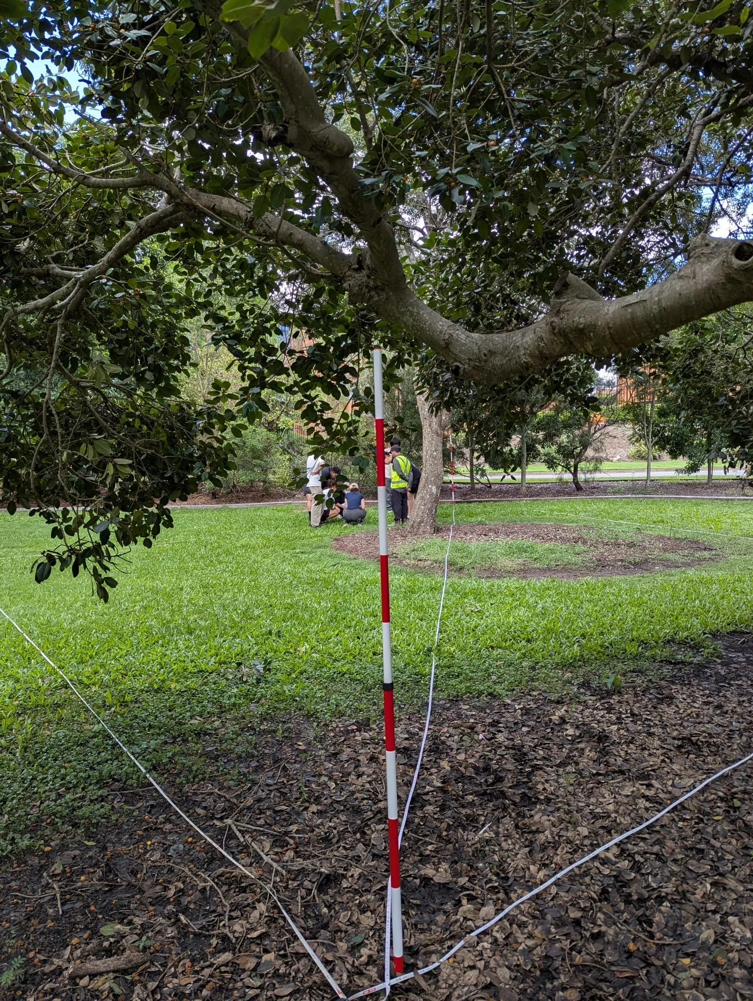
Earth Observation Students Gain Hands‑On Experience in the Field
Students enrolled in the “Introduction to Earth Observation Sciences" GEOM2000/7000 courses recently spent several days on UQ;’s St Lucia campus, or with virtual field days, building their professional geospatial skills collecting environmental data as part of an applied learning experience led by Professor Stuart Phinn and Dr Will Woodgate, and several of the PhD students from UQ’s Earth Observation Research Centre (EORC).
🎓 Congratulations to Dr. Avik Nandy!
We’re delighted to celebrate the achievement of Avik Nandy, who has successfully completed his PhD thesis titled "Use of Multi-spectral Imagery to Enhance Aquaculture Operations."
Avik’s research represents a significant contribution to the advancement of aquaculture technologies, and we commend his dedication and innovation throughout this journey.
Dr. Nandy was supervised by Prof. Stuart Phinn and Dr Simon Albert.
Well done, Dr. Nandy!

Congratulations Dr. Al Healy! 🎉
We’re pleased to congratulate Dr. Al Healy on the successful completion of his PhD! His thesis, “Boom, bust or persist? Mapping resource availability over time to support conservation management in the low-predictability, heterogeneous drylands of Australia,” marks a major achievement in his academic journey.
Al’s research provides valuable insights into how resource dynamics shape conservation strategies in Australia’s drylands. His work contributes to better understanding and managing these complex ecosystems.
Dr. Healy was supervised by Prof. Stuart Phinn, Dr. Ayesha Tulloch, and Prof. Rod Fensham.
Well done, Al—we look forward to seeing what you do next!

Mapping Cotton’s Future from the Sky
Francesca Devoto
In a world where climate variability, agricultural technologies and population growth are reshaping agriculture, UQ PhD candidate Francesca Devoto is using remote sensing technologies to improve the efficiency of cotton farming. Based at The University of Queensland and working in collaboration with Cotton Seed Distributors Ltd (CSD) and SmartSat CRC, Francesca is exploring how environmental stresses and management practices affect cotton growth and productivity—right from the leaf to the field level.

Science Leader position with QLD DETSI
Environment, Tourism, Science and Innovation
Earth Observation & Social Science; Coastal Biodiversity & Information; Science; Dutton Park
The Earth Observation and Social Sciences (EOSS) business unit is seeking a dynamic, collaborative & forward-thinking Science Leader, who is passionate about science for land management & stewardship. You will lead the Earth Observation – Land Monitoring & Modelling multi-disciplinary team & manage budget & assets to deliver integrated services & information that support decision making by government & land managers.

Innovative Research Enhances Coastal Water Quality Monitoring
Avik Nandy
To improve coastal water quality monitoring for Australia’s extensive aquaculture operations, Avik's research focuses on the detection and quantification of Chlorophyll-a concentrations in near-coastal environments.

Shedding Light on Leaf Area Density Estimation
Raja Ram Aryal
Raja Ram Aryal, an EORC PhD student, is making significant advances in the field of remote sensing and forestry applications with his innovative research on Leaf Area Density (LAD) estimation using Lidar technology. His work, which focuses on the voxel-based approach to LAD estimation, is set to enhance the accuracy of biophysical variables crucial for climate change models.