Mapping Cotton’s Future from the Sky
Francesca Devoto
In a world where climate variability, agricultural technologies and population growth are reshaping agriculture, UQ PhD candidate Francesca Devoto is using remote sensing technologies to improve the efficiency of cotton farming. Based at The University of Queensland and working in collaboration with Cotton Seed Distributors Ltd (CSD) and SmartSat CRC, Francesca is exploring how environmental stresses and management practices affect cotton growth and productivity—right from the leaf to the field level.

Innovative Research Enhances Coastal Water Quality Monitoring
Avik Nandy
To improve coastal water quality monitoring for Australia’s extensive aquaculture operations, Avik's research focuses on the detection and quantification of Chlorophyll-a concentrations in near-coastal environments.

Shedding Light on Leaf Area Density Estimation
Raja Ram Aryal
Raja Ram Aryal, an EORC PhD student, is making significant advances in the field of remote sensing and forestry applications with his innovative research on Leaf Area Density (LAD) estimation using Lidar technology. His work, which focuses on the voxel-based approach to LAD estimation, is set to enhance the accuracy of biophysical variables crucial for climate change models.

Advancing Seagrass Carbon Mapping
Muhammad Hafizt
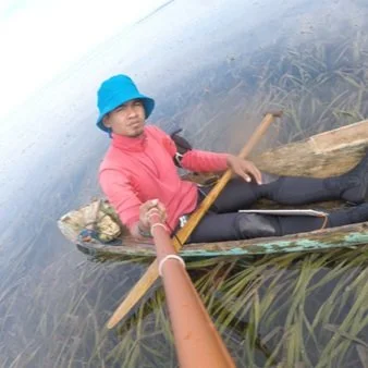
In a groundbreaking effort to map and monitor the types and amounts of seagrass carbon stocks across Indonesia, Muhammad Hafizt, a researcher at the National Research and Innovation Agency (BRIN), is leveraging advanced satellite remote sensing and statistical approaches. His work aims to provide detailed insights into seagrass distribution and carbon content, crucial for blue carbon projects in Indonesia.

Pioneering 3-D Forest Monitoring Research
Tim Devereux
Tim Devereux, a PhD student at UQ, is at the forefront of developing and validating methods for precise 3D reconstruction of forest ecosystems using terrestrial laser scanning (TLS). His work involves creating high-fidelity digital representations of forests to enhance canopy structure measurements across diverse Australian ecosystems through remote sensing simulation.

Making Remote Sensing Relevant for Coral Reef Monitoring
Joanna Smart
In a world where marine ecosystems are under increasing threat, innovative research directly linked to management processes and their information requirements is crucial for their preservation. Joanna Smart is a UQ PhD student whose work focuses on using hyperspectral Earth observation techniques to map and monitor coral reefs.
