Pele Island climate resilience project
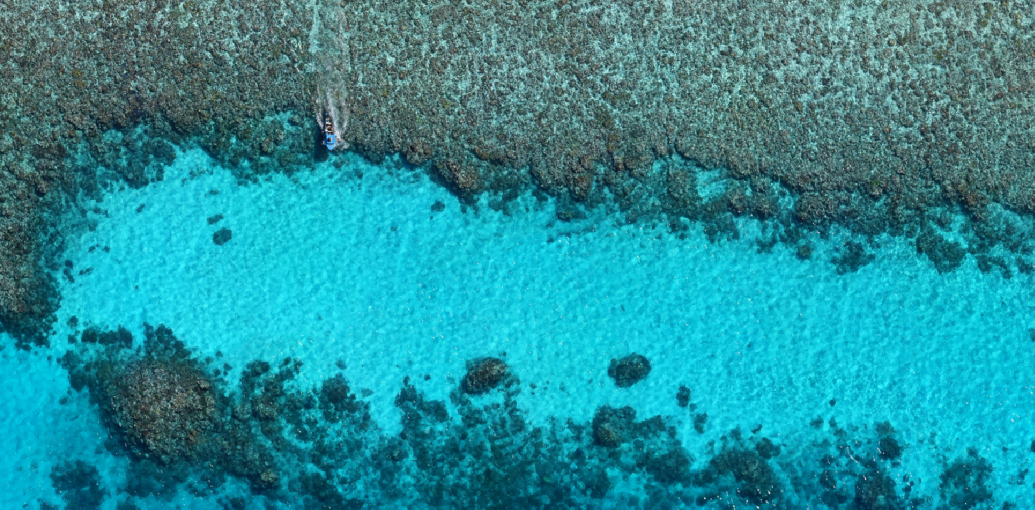
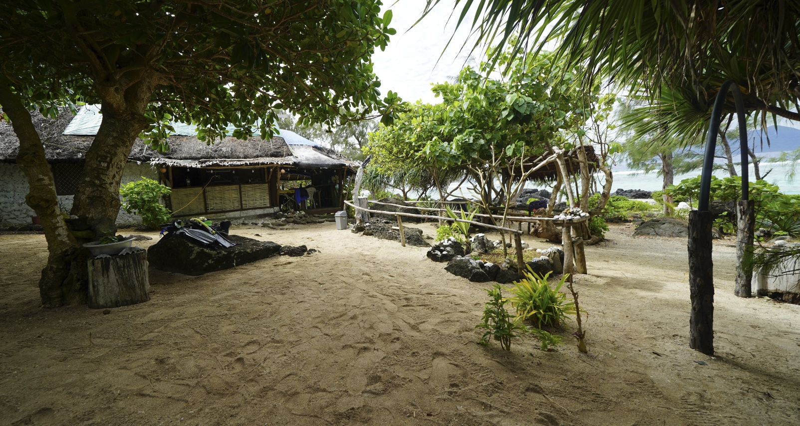
Protected reef zone in front of Worasiviu village.
Empowering a Pacific Island community through science and traditional knowledge
“A partnership between the Pele Island community and the University of Queensland and the University of New South Wales to use Earth Observation and AI/ML technologies to support climate change adaptation for sustainable coral reef management and shoreline defence”
The challenge
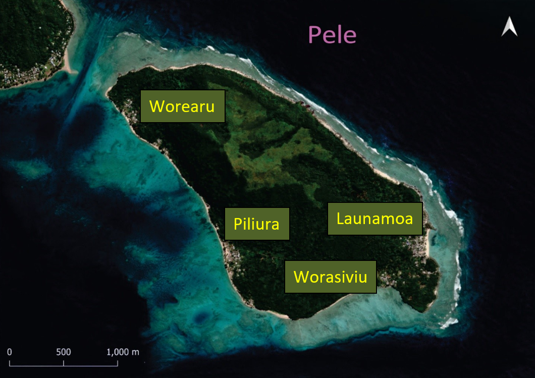
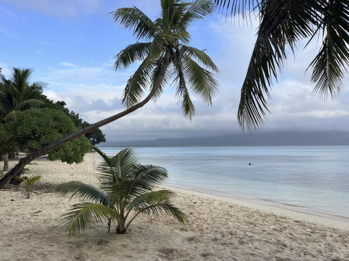
The four villages of Pele Island, Republic of Vanuatu.
Vanuatu’s Pele Island, home to 600 people across four villages, faces a multitude of climate related challenges. Coral reefs, the island's natural shield against storms and waves, are being affected by changing ocean temperatures and increasing cyclone intensity. Rising seas are eroding beaches and threatening homes – a cemetery has already been flooded and partially washed away into the ocean. These challenges are not unique to Pele or Vanuatu: many Pacific Island nations rank among the world's most climate-vulnerable countries. Unfortunately, most of these island communities also lack the data needed to plan effective responses.
While Pele Island has a dedicated community environmental committee eager to protect their home, they've been hampered by a critical obstacle: a huge data gap. Without local reef spatial data, the erosion predictions, long term monitoring, and change mapping that are often used for planning climate adaptation and assessing risks have been out of reach.
A partnership built on respect
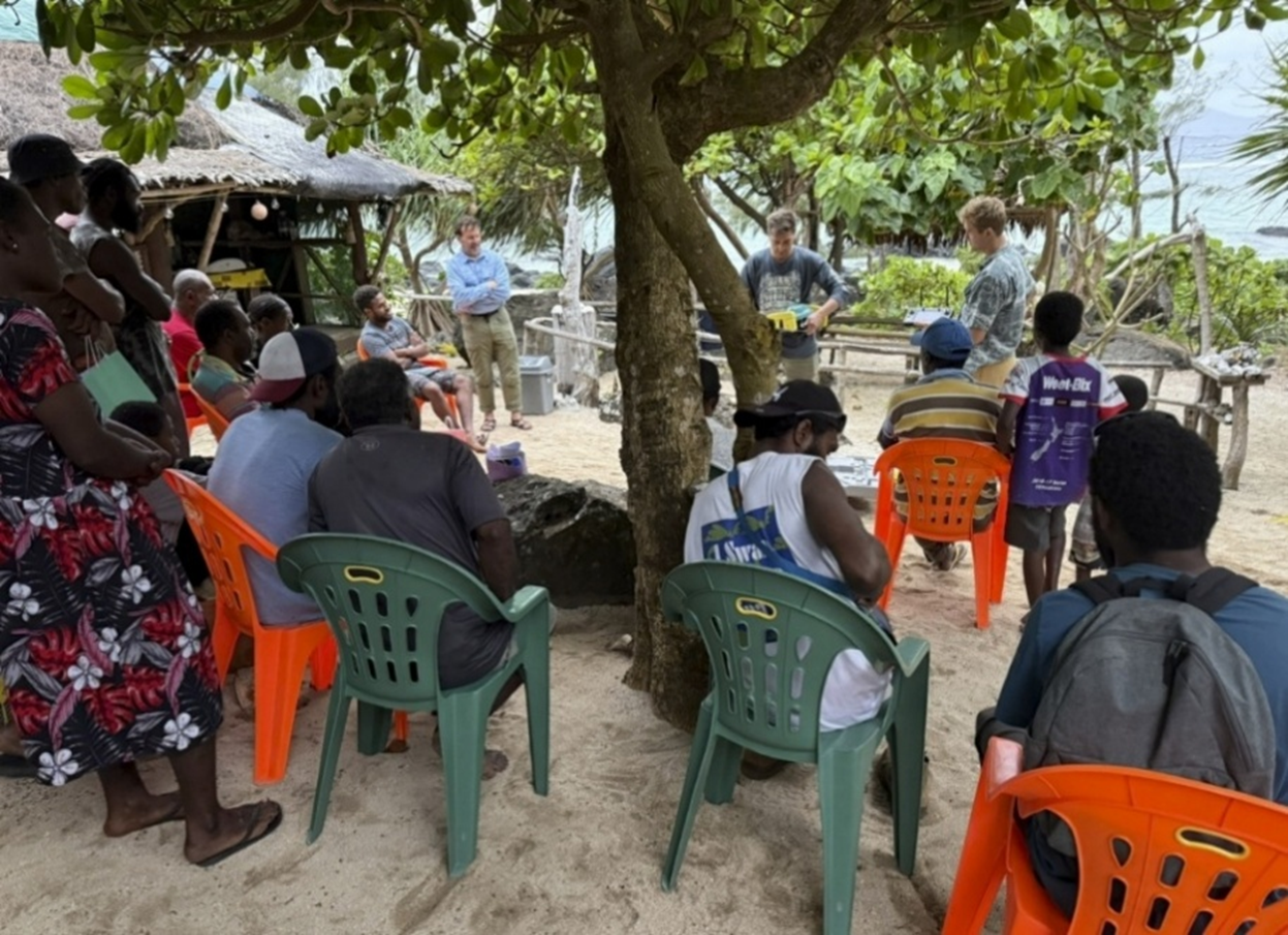
In 2024, the University of Queensland and University of New South Wales partnered with the Pele Island Environmental Livelihood Solutions Network (PIELSN) and Live and Learn Vanuatu to change that. This isn't a typical aid project where outsiders swoop in with solutions. Instead, it's built on genuine partnership, combining cutting-edge satellite technology and artificial intelligence with the community's deep knowledge of their marine environment.
The project was co-designed with representatives from all four villages, ensuring the maps and tools created would meet the community's needs. Women, youth, persons with disabilities, and elders all participated in shaping and undertaking the work.
What we're creating
Keeping the needs of the four villages in mind, the project was collaboratively designed to map both land and reef with a wide variety of techniques and technologies; each of the project outputs is described below. We worked in collaborative teams of locals and University researchers throughout the research process to build local capacity in the methods and empower community members to continue their monitoring after the project concludes.
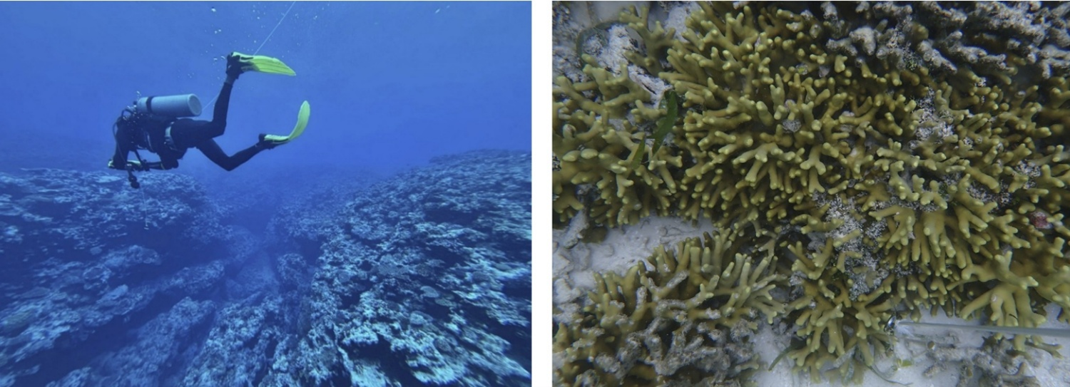
High-resolution coral reef maps
Using drone imagery, satellite data, and machine learning, the team is creating the first comprehensive maps of Pele Island's coral reefs down to approximately 20 meters depth. These maps show the distribution of coral, seagrass, and other benthic features. These kinds of maps will support Pele’s bourgeoning tourism activities and help identify suitable spots for coral restoration efforts.
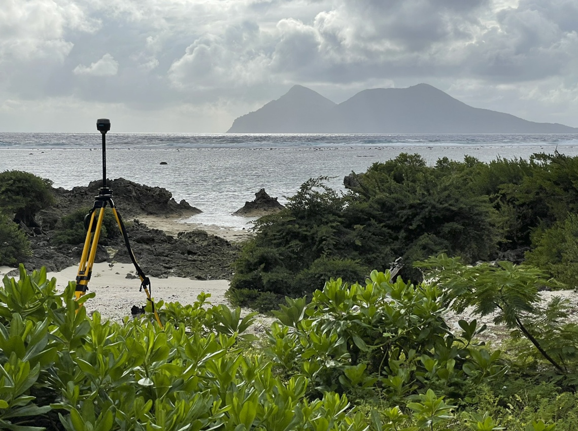
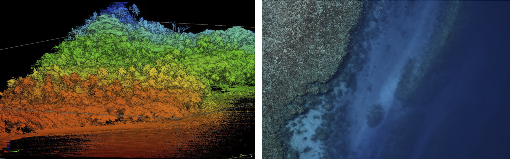
3D coastal maps
Detailed three-dimensional models of the island's coastline, created with drone LiDAR, help visualise exactly how different adaptation strategies, like planting coral gardens or installing wave barriers, might protect vulnerable areas.
Coastal erosion models
Potential erosion scenarios are being modelled using the reef maps, the 3D coastline models, and wave measurements collected on Pele’s reef flat. These models can predict which parts of the coastline face the greatest risk from rising seas and stronger storms, both now and under different future climate scenarios. With forecasts of current and future coastal erosion risks, the community can plan where to protect shorelines, relocate infrastructure, or restore natural defences like shoreline vegetation.
Community information hub
All maps, data, and tools created during this project are being made available through free, easy-to-use online platforms. Community members can then log on anytime to monitor their reefs and seagrass, and plan for the future.
Building local capacity
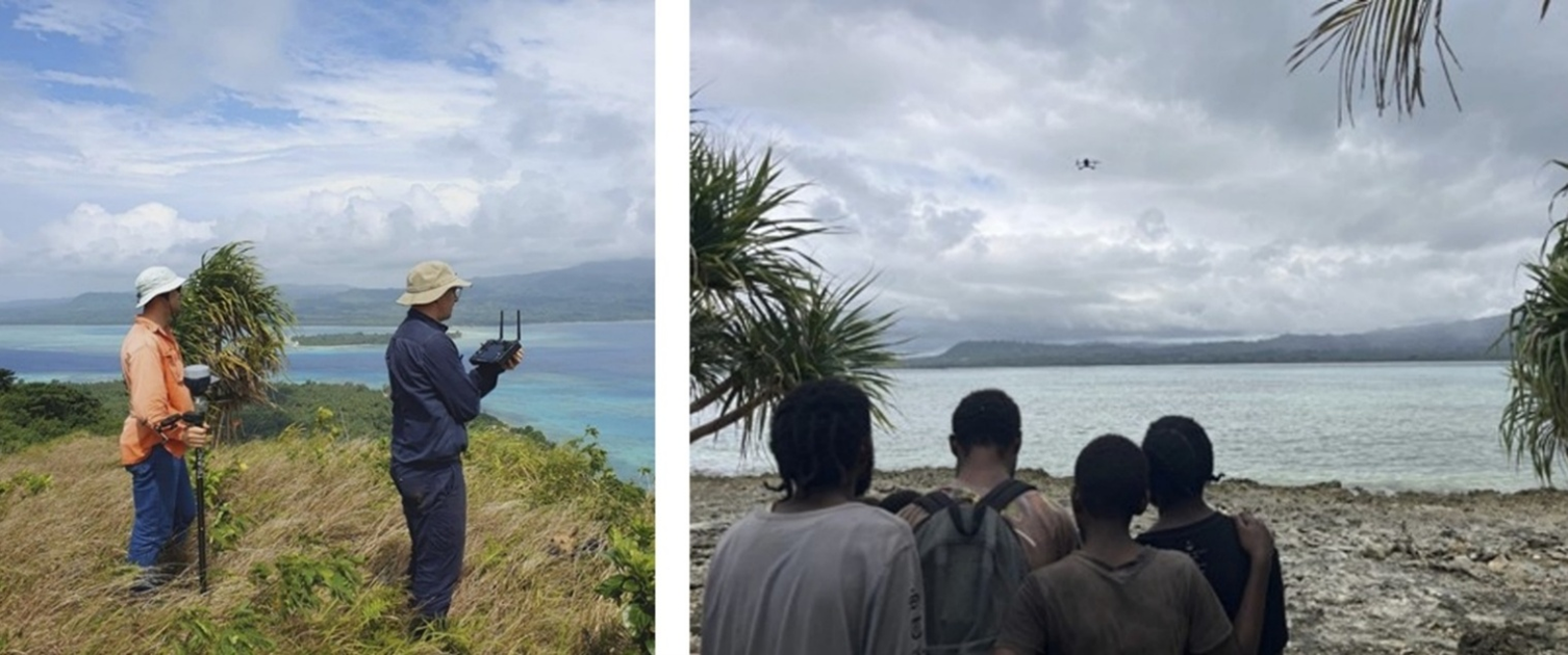
Perhaps the project's most transformative impact has been empowering islanders themselves to increase their coastal monitoring capabilities.
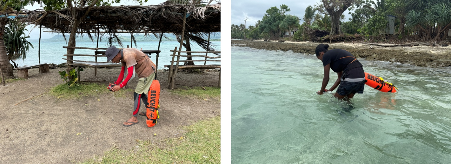
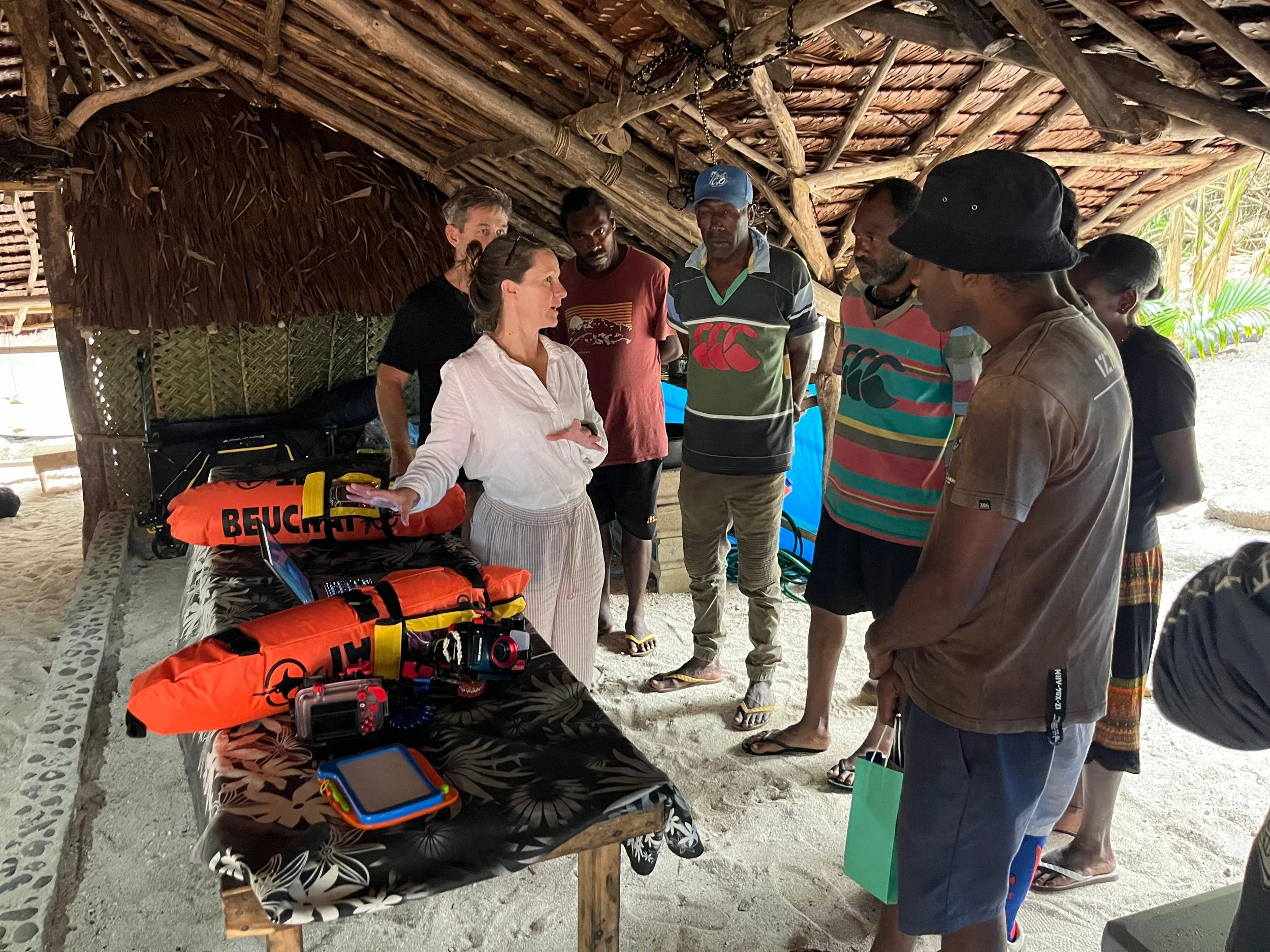
In August 2025, 16 community members, including women and people with physical disabilities, received intensive training in professional survey techniques, drone operations, and mapping software. They learned to conduct underwater photo surveys using snorkel and SCUBA gear, operate GPS equipment, process data, and use the same open-source mapping tools employed by researchers worldwide.
The project provided not just training, but lasting infrastructure: professional SCUBA gear, GPS units, underwater cameras, Starlink high-speed internet, laptops, and solar power systems were all supplied to the PIELSN. This equipment eliminates the need for expensive trips to the capital and enables year-round monitoring and connection with scientific networks.
Looking ahead
The Pele Island community now has what they lacked before: detailed mapping of their marine environment, tools to predict future changes, and the capacity to monitor their reefs independently. But the work is far from over.
The team is currently completing coral reef maps, finalising coastal erosion predictions, and integrating findings into community management plans. All data, maps, and computer code will be published openly so other Pacific Island communities facing similar threats can benefit.
Beyond the immediate outputs, the project is exploring innovative biodiversity finance mechanisms that could generate ongoing revenue for conservation activities, creating a sustainable funding model that doesn't rely on external grants.
A model for the Pacific
UQ staff conduct marine survey equipment familiarisation with community members. Photo: Reilly Williamson.
The beehive of activity on Pele Island has caught the attention of numerous regional partners, many of whom have asked for the project to be replicated across their communities. Notably, this high interest in the project isn’t because of the cutting-edge technology, but because of the authentic partnership that puts the community in control. Local knowledge about reef systems, weather patterns, and marine life guided every step. Community needs dictated what data was collected and how. All equipment and data now belong to PIELSN, not outside institutions. Training emphasised teaching community members to be self-sufficient, not dependent on foreign experts.
This approach, combining advanced Earth observation technology with genuine community ownership offers a replicable model for climate adaptation across other Pacific nations. It shows that even communities with limited resources can lead sophisticated climate science when given appropriate support.
Project Partners: University of Queensland Earth Observation Research Centre and Drone Collaborative Research Platform, University of New South Wales, Pele Island Environmental Livelihood Solutions Network, Live and Learn Vanuatu, and , and the Vanuatu government.
A big thank you to Climate Change AI for enabling this project, to the Vanuatu government for all their assistance, to the Nguna Pele Area Council and the Area Administrator for their invaluable support, to all the volunteers, and to the team at Big Blue Dive in Port Vila for all their help.
The project team would like to say a special Tankiu tumas to all The Pele Island – Vatukoro Council of Chiefs and community members on Pele Island and Efate for allowing us to work on their lands and waters, for welcoming us so warmly, and for all their help and hospitality.
Supported by: This project was funded by the Climate Change AI Innovation Grants program, hosted by Climate Change AI with the support of Quadrature Climate Foundation, the Global Methane Hub, Google DeepMind, and the Canada Hub of Future Earth.
For more information: m.roe@uq.edu.au